MSO > SLC: Spring
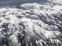
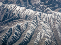
Gunsight Peak
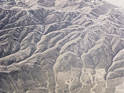
Pass Creek
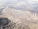
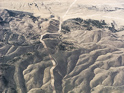
Jump Off Peak
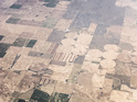
Fields, Aberdeen Idaho
Wind Towers, American Falls
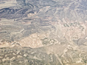
South Slope, North Slope
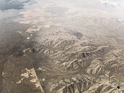
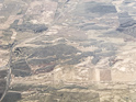
North of Holbrook, Idaho
Curlew Nation Grassland
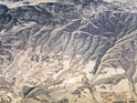
Curlew National Grassland
East of Snowville
I-84, toward Snowville
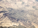
Clearing, North Promontory Range
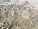
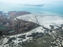
Northern End of Promontory Peninsula

Promontory Ridge, Utah
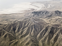
Promontory Ridge, Rozel Bay
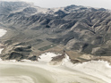
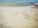
Salt Edge, Peninsula
Salt Shallows
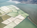
Great Salt Lake Minerals Corporation
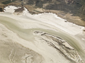
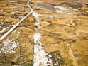
Salt Boundary
Interface
Salt Shallows
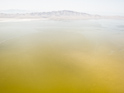
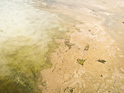
Yellow Water
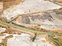
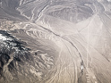
Scraping
Power Lines